NASA and the National Oceanic and Atmospheric Administration (NOAA) are teaming up to put a group of advanced weather satellites in space, and the next one is slated to take off this evening. The GOES weather satellite (Geostationary Operational Environmental Satellite) will be positioned to provide data to the West Coast of the U.S. after it’s carried into orbit by one of the United Launch Alliance’s Atlas V rockets.
NASA officials say the launch window for the Atlas V rocket that will be carrying the GOES weather satellite into space opens at 5:02 p.m., and that’s when they expect to launch. Meteorologists at the Air Force Station in Cape Canaveral are forecasting an 80% chance of good weather during the time of the Atlas V’s launch window.
About three-and-a-half hours after the Atlas V rocket delivers the GOES weather satellite into space, the rocket should release it, and then it should enter a temporary elliptical orbit, officials explained. The satellite is equipped with a thruster, which scientists will use to shift it into its final circular orbit over the equator.
At a news briefing this week, NOAA officials explained that the GOES weather satellite will cover North and Central America, the Pacific Ocean, and New Zealand. It will also provide high-resolution images above Alaska and nearby areas at high latitudes where the agency doesn’t currently have usable data from its “geostationary constellation.”
In addition to high-resolution images of the West Coast, officials say the new GOES weather satellite will help them track severe weather such as cyclones, fog, and even wildfires, which plague the western U.S. every year. NOAA officials also expect all the GOES weather satellites to make the agency’s geostationary weather constellation last into 2036.
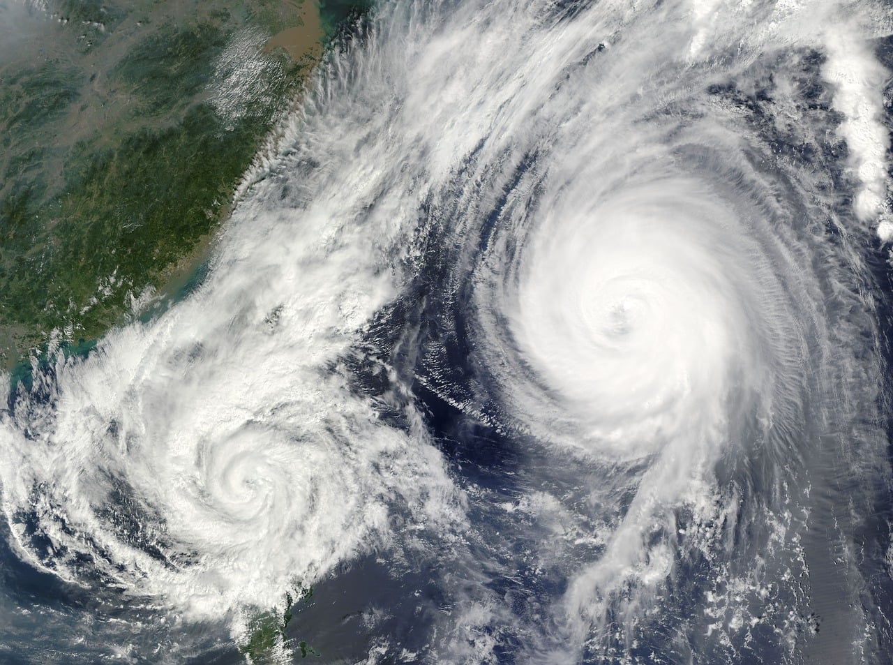
The GOES weather satellite that’s being launched today joins a second one that’s already in orbit around Earth, and NASA and NOAA are planning to put two more of them in orbit in the future. The first of the four weather satellites was named GOES-East after being delivered into orbit in late 2016. The GOES-East satellite has already delivered to NOAA important data to help with forecasting severe weather within the last year, especially during last year’s deadly hurricane season. In fact, officials even say that they’ve been able to detect fires from space before they were reported on the ground. The satellite covers the East Coast of the U.S., the Atlantic Ocean, and western Africa.
The GOES weather satellite that’s expected to launch today is currently being referred to as GOES-S, but after it’s maneuvered into position in space, it will be called GOES-West. The weather satellite is expected to come online later this year. Between GOES-East and GOES-West, NOAA will have access to high-resolution images of the majority of the Western Hemisphere, according to media reports.