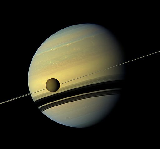
The Cassini Spacecraft which spent years in space exploring Saturn, plunged into its atmosphere last year. Now, scientists have finally gathered its complete data set and are analyzing it. Thanks to that data, astronomers from Cornell University in Ithaca, New York, have created a new global topographic map of Saturn’s moon Titan, which will help them understand its terrain, and more importantly, the liquid flows. There’s another interesting discovery, and that is that there is a sea level elevation on Titan.
The astronomers described their findings on the map in two papers, which were recently published in Geophysical Review Letters. According to Paul Corlies in a statement, a doctoral student at Cornell University and the first author on “Titan’s Topography and Shape at the End of the Cassini Mission”, it took around one year to create the map.
The map reveals several features of Saturn’s natural satellite. The spacecraft discovered new mountains, although none of them are higher than 2300 feet (700 meters.) There is also a “global view of the highs and lows of Titan’s topography,” according to the press release. The global view revealed to the scientists that there are two areas near the equatorial region of the moon that are a depression, possibly being ancient, dried seas, or even cryovolcanic flows. The map also confirms that Titan is slightly more oblate than it was previously thought, meaning it is more flattened at the poles.
The map also reveals sea level elevation on Titan. The surface of the oceans on Earth has an average elevation, which is commonly called “sea level.” Similar to Earth, Titan’s seas also have an average elevation. This finding reveals that Earth and Saturn’s natural satellite are similar in more ways than previously thought.
However, Titan’s lakes and seas have hydrocarbons instead of liquid water. The study finds that Titan’s seas have a constant elevation, which is also relative to Titan’s gravitational pull.
“We’re measuring the elevation of a liquid surface on another body 10 astronomical units away from the sun to an accuracy of roughly 40 centimeters. Because we have such amazing accuracy we were able to see that between these two seas the elevation varied smoothly about 11 meters, relative to the center of mass of Titan, consistent with the expected change in the gravitational potential. We are measuring Titan’s geoid. This is the shape that the surface would take under the influence of gravity and rotation alone, which is the same shape that dominates Earth’s oceans,” Alex Hayes, assistant professor of Astronomy at Cornell University and senior author of the second paper said in a statement.
Also, there are lakes that are smaller that have elevations several hundred feet higher compared to the sea level elevation on Titan. Similarly, lakes with higher elevation are found on Earth and are commonplace. The highest lake which is still navigable by large ships is Lake Titicaca, which is over 12, 000 feet above sea level.
“It’s also telling us that there is liquid hydrocarbon stored on the subsurface of Titan,” Hayes said.
According to the new study, the sea level on Titan is of great importance because the liquid bodies beneath the surface appear to be connected, similar to an aquifer system on Earth. As water flows through underground rock or gravel on Earth, hydrocarbons similarly flow beneath Titan’s surface. But the smaller, higher elevation lakes don’t seem to be connected to this underground system, but are separate lakes, isolated from the seas.


